Basirhat Municipality was established on 1st April, 1869. It was constituted by Basirhat Mauza and 13 surrounding Mouzas. The entire area covered was 22.01 sq km. According to the Census 1981, the population was 81, 040. Until 1964 there were total 10 wards under Basirhat Municipality. Until 1995, the number of wards increased to 18. But after 1995, on the basis of population Basirhat Municipality was re-constituted with 22 wards. The present Municipal area is 8.5 sq. miles.
Basirhat Municipality was established on 1st April, 1869. It was constituted by Basirhat Mauza and 13 surrounding Mouzas. The entire area covered was 22.01 sq km. According to the Census 1981, the population was 81, 040. Until 1964 there were total 10 wards under Basirhat Municipality. Until 1995, the number of wards increased to 18. But after 1995, on the basis of population Basirhat Municipality was re-constituted with 22 wards. The present Municipal area is 8.5 sq. miles.
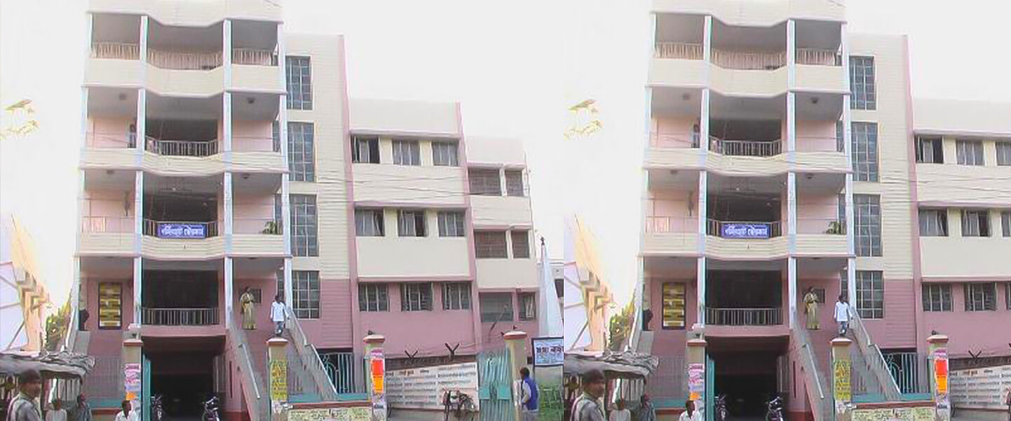
Basirhat is a city and a municipality in North 24 Parganas district in the state of West Bengal, India. Basirhat is a river side sub divisional town. Basirhat is located at 22.66° N 88.89° E. It has an average elevation of 6 metres (19 feet).
![]() Drainage System
Drainage System
![]() Road Network
Road Network
![]() Street Lighting
Street Lighting
![]() Education
Education
![]() Parks & Gardens
Parks & Gardens
![]() Municipal Markets
Municipal Markets
![]() Water Supply
Water Supply
Drainage System
At present, there is no underground sewerage system in Basirhat Municipal area. The type of latrines used here are mainly of two types,
![]() Septic Tank Method: Generally, the middle class people of the Municipal area use this type of system.
Septic Tank Method: Generally, the middle class people of the Municipal area use this type of system.
![]() Two-Pit Flash Latrine method: these are the new system of sanitation, which has replaced unsanitary privies in slum areas.
Two-Pit Flash Latrine method: these are the new system of sanitation, which has replaced unsanitary privies in slum areas.
The affluent is then discharged into the open drain nearest to the residence. There are two cesspool cleaner and two sullage carrying tanks pulled by tractors to handle the load of the ULB. With the growing population of the ULB, there is an immediate need for sewerage system covering the whole of the municipal area.
The storm water is primarily a natural drainage flowing to the nearest river. There is no drainage system constructed in the recent past. There is an acute problem of water logging in the lower areas of the ULB. A well designed drainage system is long over due.

Road Network
The Basirhat Municipal Area has one state highway (Taki Road) and a couple of major arterial spines, which criss-cross the entire area. Martine Burn Road & SN Majumdar Road are major arterial spine running in N-S & E-W direction, connecting the area with the city of Barasat & Taki, the major growth centre of the area. These roads connect the entire Municipal area with the Barasat and the other areas of 24Pgs (N) either directly or indirectly.

Street Lighting
Municipality mainly looks after the operation and maintenance of street lighting within the municipal area. At present, 2/3 days time is taken to replace the streetlight.
| Lamp Post | 4057 Nos. |
| Vapor /Mercury Lamp | 495 Nos. |
| Tube Light | 1801 Nos. |
| Lamp | 1685 Nos. |
Education
The total literacy rate of West Bengal was 68.64% in 2001 out of which the male literacy rate was 77.02% and female literacy rate was 59.61%. The total literacy rate of North 24 Parganas was 78.07% in 2001 out of which the male literacy rate was 83.92% and female literacy rate was 71.72%. The total literacy rate of Basirhat was 82.52% in 2001 out of which the male literacy rate was 87.78% and female literacy rate was 77.00%. (Source: Urban West Bengal, 2000-2002)
Population Vs Education (As per Socio Economic Survey 2007)
| Education Level | Population(No. of Persons) |
| Post Graduate | 1,226 |
| Graduate | 8,584 |
| HS | 8,584 |
| Secondary | 12,263 |
| Class VIII | 25,753 |
| Sum of Literate | 50,279 |
| Illiterate | 15,942 |
List of Educational Institution
| Sl. No. | Type of Education Institution | Nos. |
| 1 | Pre-primary School | 11 |
| 2 | Primary School | 59 |
| 3 | Junior High School | 1 |
| 4 | Secondary | 8 |
| 5 | Higher Secondary | 9 |
| 6 | Anganvadi | 30 |
| 7 | Adult education | 12 |
| TOTAL | 130 | |
Parks & Gardens
| Name of the Park and Play Ground | Location | Area(sq.m.) |
| Suryakanta Park | S.N. Majumder Road | 4180 |
| Rabindra Saikat Park | Itinda Road, Side of Ichamati Bridge | 1672 |
| Bow Bazaar Park | Bow Bazaar (Basirhat Puratan Bazaar) | 1393 |
| Sahid Dinesh Majumder Children’s Park & Ichamati Picnic Spot | Mrijapur | 117668 |
| Hari Narayan Ghosh Park | Martin burn Road, Kachari para, Basirhat | 1236 |
| ‘Alok Jhorna’ Park | Near Town Hall |
Municipal Markets
There are five existing markets in Basirhat Municipal Area with 240 stalls. All these existing markets are more than 20-25 years old and are ill maintained. In addition to these, there are a few privately owned old Markets. However, these markets are settled in defined areas.
| Sl. No. | Markets | Location |
| 1 | Mirjapur Market(College Market) | College Para, Basirhat |
| 2 | Jirakpur Whole sale Market (Bhabla Market) | Bheble Rail Station |
| 3 | Bow Bazaar Market | Bow Bazer |
| 4 | Hawker’s Corner | Itinda Road |
| 5 | Suryakanta Municipal Market | Itinda Road |
Water Supply
At present, the entire population within the Municipal Area is dependent on Ground Water. They are served water from Municipal Pipeline (33%), Municipal tube Well (50%), other (6%) and own Tube well (11%) Hand Tube wells. In Basirhat Municipal area, 74% tube-wells are owned by the Municipality and the remaining 26% are individually owned tube wells. Two service reservoir and 3 pump houses were constructed by the PHE in the Municipality area.
The water supply requirement for 2025 of Basirhat Municipality has also been estimated assuming the quantity of water required as 135 liters per capita per day, as per UDPFI Guideline and considering the increasing demand for water in the Municipal area.
Water Requirement Projection

Below table shows the Ground Water Test Report conducted by P.H.E. , Basirhat Sub Division within 22 wards of Basirhat Municipality (Period January 2002 to April 2007) :-
| Ward Nos. | As mg/ltr. | Fe mg/ltr | Cl mg/ltr | pH |
| 1 | 0.036 | 0.468 | 212 | 7.45 |
| 2 | 0.016 | 0.157 | 322.7 | 0 |
| 3 | 0.049 | 0.501 | 457.6 | 0 |
| 4 | 0.008 | 0.010 | 24.82 | 0 |
| 5 | 0.025 | 0.395 | 353.59 | 0 |
| 6 | 0.031 | 0.560 | 477.2 | 0 |
| 7 | 0.010 | 0.390 | 439 | 0 |
| 8 | 0.041 | 0.053 | 301.52 | 7.31 |
| 9 | 0.018 | 0.060 | 225.43 | 0 |
| 10 | 0.034 | 0.240 | 509.64 | 7.45 |
| 11 | 0.069 | 0.064 | 422.55 | 0 |
| 12 | 0.063 | 0.091 | 238.07 | 0 |
| 13 | 0.021 | 0.114 | 252.70 | 0 |
| 14 | 0.015 | 0.093 | 216.62 | 7.47 |
| 15 | 0.028 | 0.125 | 269.36 | 7.31 |
| 16 | 0.024 | 0.242 | 202.64 | 7.21 |
| 17 | 0.00 | 0.024 | 335.29 | 7.36 |
| 18 | 0.028 | 0.075 | 397.87 | 7.47 |
| 19 | 0.031 | 0.222 | 308.92 | 7.49 |
| 20 | 0.035 | 0.101 | 379.13 | 7.31 |
| 21 | 0.025 | 0.126 | 224.67 | 7.27 |
| 22 | 0.046 | 0.053 | 474.50 | 7.56 |